For much of the twentieth century, urban waterfronts served industrial economies rather than residents. Ports, rail yards, and manufacturing facilities claimed the shoreline, leaving city dwellers with little meaningful access to the water’s edge. Over the past three decades, that relationship has begun to reverse, but not without complication. The challenge facing planners and designers today is not simply reclaiming the shoreline; it is reimagining what it should become.
The Inherited Landscape
Waterfronts carry the residue of the past. Industrial infrastructure (bulkheads, piers, rail spurs, and warehouses) defines the physical character of many urban edges long after the industries themselves have departed. Designers working on shoreline transformation must contend with this legacy: the aged seawall that cannot simply be demolished, the pier deck that hides structural failure beneath its surface, the fill land that presents geotechnical constraints at every turn.
This inherited landscape is not merely an obstacle. It is also an opportunity. Adaptive reuse of maritime infrastructure has produced some of the most compelling waterfront spaces of the contemporary city. The repurposed pier becomes a performance venue. The former warehouse becomes a cultural anchor. The industrial bulkhead, reinforced and redesigned, becomes the seating edge from which residents watch the water at dusk. Understanding what exists and what it can become is the first discipline of waterfront design.
Ecology as a Design Principle
For decades, urban waterfronts were treated as hard edges: concrete walls meeting water, impervious surfaces extending to the shoreline, no accommodation for the biological systems that once inhabited the intertidal zone. The consequences of this approach are well documented. Aquatic habitat has diminished. Water quality has suffered. The built edge offers no buffer against storm surge.
Contemporary practice takes a different view. Ecology is now understood as a design principle, not an afterthought. Living shorelines (constructed with oyster reefs, salt marsh plantings, and riparian buffers) replace or supplement hard armoring in contexts where conditions permit. Bioswales and permeable surfaces manage stormwater on land before it reaches the water. Habitat corridors connect upland green space to the aquatic edge, supporting bird and insect populations within dense urban environments.
This ecological turn carries implications for program and aesthetics as well. When the shoreline is alive (when grasses move in the wind, when water is visible through vegetated margins, when seasonal change registers at the edge) residents relate to the waterfront differently. They engage with it as a natural system, not merely as a recreational amenity. That shift in perception is itself a goal of good design.
Equity and Access
The history of urban waterfronts is also a history of exclusion. Premium views and waterside amenities have consistently attracted high-income development, pricing out the communities that once lived and worked along the water. In many cities, the revitalized waterfront has become a luxury amenity for a narrow segment of the population, its public space programming calibrated to demographics that do not reflect the broader city.
Addressing this pattern requires more than the formal gesture of public access. It requires deliberate attention to transit connectivity, so that residents from distant neighborhoods can reach the waterfront without a car. It requires programming that serves diverse communities: youth sports, cultural events, informal gathering spaces, not merely the fitness and leisure activities that tend to dominate park design. It requires maintenance systems that sustain quality without relying on adjacent property owners or Business Improvement Districts whose interests may not align with public benefit.
Equity in waterfront design is a planning problem as much as a design problem. Zoning regulations, public land disposition policies, and community benefit agreements all shape who ultimately benefits from shoreline investment. Designers who limit their attention to the drawing board, without engaging these upstream decisions, will find their best intentions undermined by the conditions surrounding the site.
The Role of Design Competitions
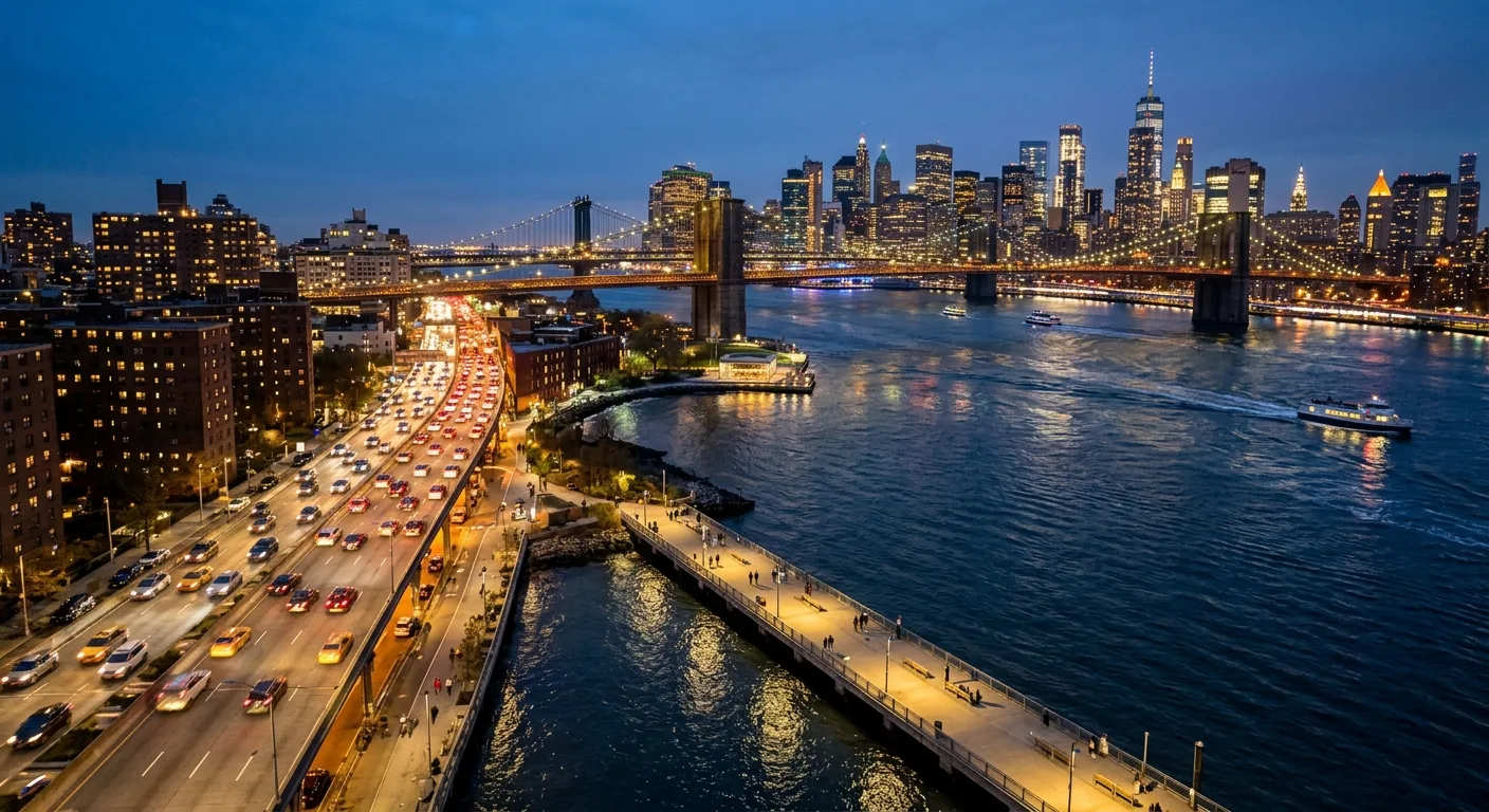
Open design competitions have played a significant role in advancing waterfront thinking. By inviting a broad range of practitioners (including emerging designers who lack established commissions), competitions introduce speculative ideas into discussions that might otherwise remain dominated by familiar typologies and risk-averse clients. The East River Esplanade competition organized by CIVITAS is a notable example: it brought together architects, landscape architects, urban planners, and artists to propose visions for one of Manhattan’s most complex and underperforming public edges.
Competitions are not without their limitations. Speculative proposals often underestimate implementation constraints: cost, jurisdiction, maintenance, and community process. The winning concept that looks transformative on a rendering board can dissolve in the face of regulatory complexity and phased funding. The value of the competition format lies not in producing a blueprint for immediate construction, but in expanding the range of possibilities that inform subsequent planning.
Resilience as an Organizing Framework
Sea level rise and storm surge have become central concerns in waterfront design. Superstorm Sandy demonstrated with devastating clarity what had long been evident in engineering analyses: that the dense, low-lying edges of coastal cities are acutely vulnerable to flooding, and that the consequences fall hardest on communities with the fewest resources to recover.
Resilience is now an organizing framework for waterfront investment in many cities. This means designing for inundation: accepting that water will enter certain areas during storm events and designing those areas to flood and recover without catastrophic damage. It means elevating critical infrastructure above projected flood thresholds. It means creating networks of green space that absorb stormwater and reduce peak flows. And it means doing all of this in ways that sustain or improve the public realm, so that resilience investment is also a quality-of-life investment for the communities that use the waterfront every day.
What Good Waterfront Design Looks Like
The best waterfront projects share certain qualities. They are specific to place: they respond to the particular history, ecology, and community of the site rather than applying a generic template. They are genuinely public (accessible, programmed, and maintained in ways that welcome the full range of residents). They are ecologically alive (incorporating natural systems that provide habitat, manage water, and register the passage of seasons). They are resilient (designed with honest acknowledgment of the risks that changing climate presents). And they are durable, built to last and sustained by governance arrangements that outlive the initial design enthusiasm.
Achieving these qualities requires collaboration across disciplines and across sectors. Landscape architects, civil engineers, transportation planners, ecologists, community organizers, and municipal agencies must work together from the earliest stages of a project. The waterfront is too complex and too important to be the domain of any single profession or agency. Its transformation is, in the deepest sense, a civic act.